Environment
🇨🇳 ChinaLe Monde's Coverage Presents the Event Through Maps and Photographs, Offering a Detailed Look at the Destruction Wrought by the Flooding.
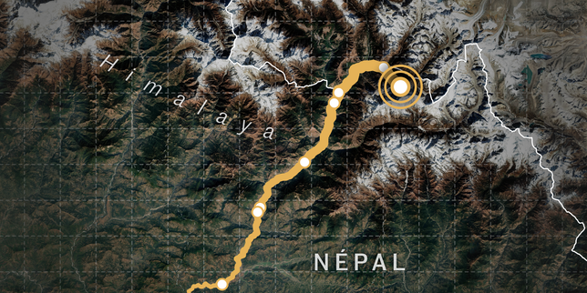
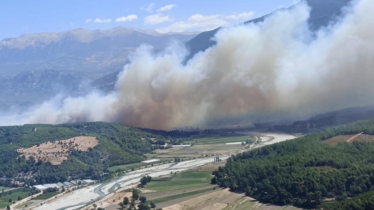
Satellite images taken before and after the disaster that devastated a border area between Nepal and Tibet reveal the full scale of the destruction. On August 26, 2026, at around 8:40 a.m. local time, the tip of a glacier broke off on the Sino-Nepalese border and tumbled down the mountain. The mixture of water, rock, earth, and debris then rushed into the Himalayan valleys below.
Rescue workers intensified their efforts on Saturday, August 29, to locate some 3,000 people still missing and evacuate survivors stranded at the border between Nepal and China, three days after the flood that killed more than 600 people and left a landscape of devastation in its wake. The comparison of satellite imagery before and after the event highlights the sheer magnitude of the destruction across the affected frontier zone.
Source: Le Monde Planete
- Storm
- China
- Environment
- Monde's
- Monde Coverage