World
A Cold Front Moving Southward Tuesday Will Bring Little Rain, Leaving London, Essex, Kent, and Surrey Bone Dry
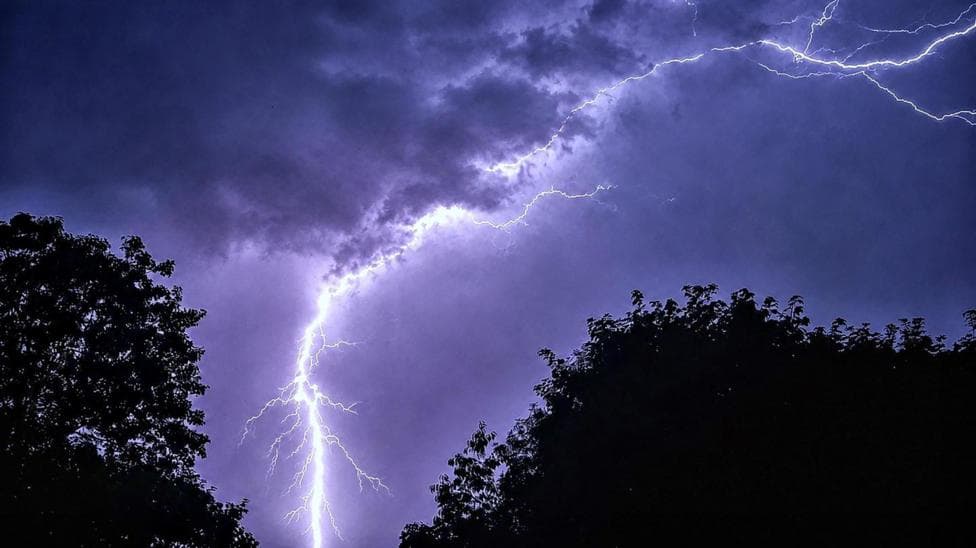
Thunderstorms and flash flooding threaten the final day of the UK heatwave, with southern and eastern England bracing for more scorching temperatures before a cooldown arrives midweek. Pershore in Worcestershire and Cavendish in Suffolk have already logged three consecutive days of heatwave thresholds, and more areas are expected to join them Tuesday. Amber and yellow heat health alerts remain in effect across much of England until 09:00 BST Wednesday, with thermometers potentially topping 30C. A cold front moving southward Tuesday will bring little rain, leaving London, Essex, Kent, and Surrey bone dry.
Scattered thunderstorms, however, could develop, prompting a yellow warning for parts of Northern Ireland from 12:00 to 21:00, with up to 30mm of rain per hour, strong winds, and hail possible. The parched ground risks flash flooding as runoff pools on scorched soil. The Met Office warns that August likely brings more dry, hot weather, meaning hosepipe bans affecting over 20 million people in England and Wales may persist.
Wisley in Surrey has seen 47 consecutive days without measurable rainfall, the UK's driest spot. While extreme highs in the 30s may ease as August progresses, spells of 30C or more can occur into September.
Source: BBC UK