
Travel
By Gathering Enough Data From Seismic Events, Scientists Can Piece Together a Picture of What Lies at Various Depths Below the Surface
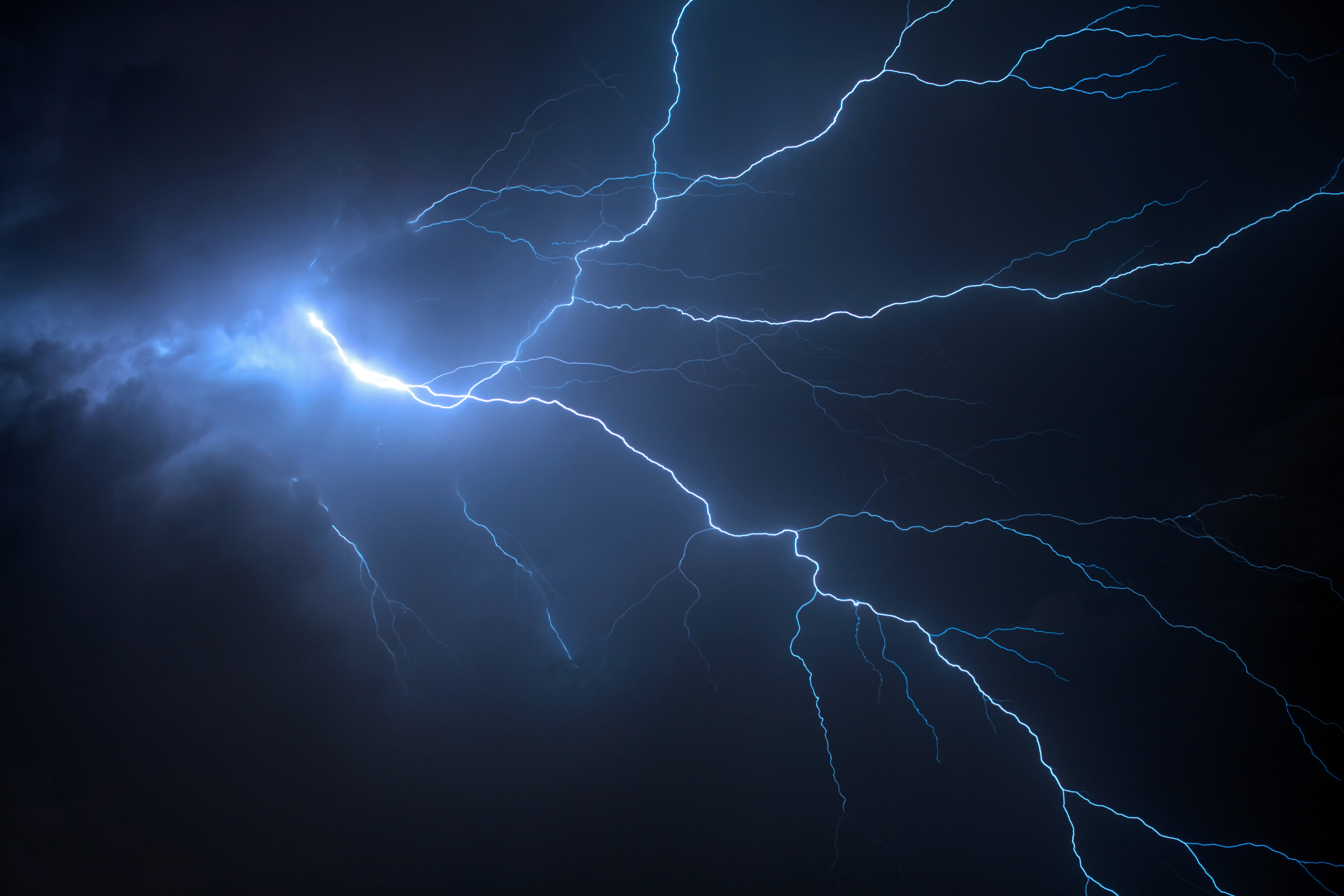
Researchers at Penn State have developed a new method for imaging the Earth's subsurface using thunderstorms, which they say could offer a middle ground between waiting for earthquakes and setting off explosives. The team has created a model that can interpret the complex seismic signals generated by thunder, known as thunderquakes, and used it to map the terrain beneath their campus. Most knowledge of Earth's interior comes from observing seismic waves, which travel at different speeds depending on the rock they pass through—whether it is solid or semi-molten, how much water it contains, and whether it is fractured.
By gathering enough data from seismic events, scientists can piece together a picture of what lies at various depths below the surface. In many cases, this data comes from natural events like earthquakes. In others, researchers intentionally create waves using explosives to image specific areas without waiting for a quake.
The Penn State team suggests thunderstorms offer a third option, as some of the energy carried by thunder enters the upper crust and triggers thunderquakes. thunderquakes.
Source: Ars Technica
Most read in this category
Loading article…