
Environment
🇬🇧 United KingdomUnited Kingdom: UK Are Set to Face Their Fifth Heatwave of the Summer This Week, With Temperatures Potentially Soaring to 36C As the Met
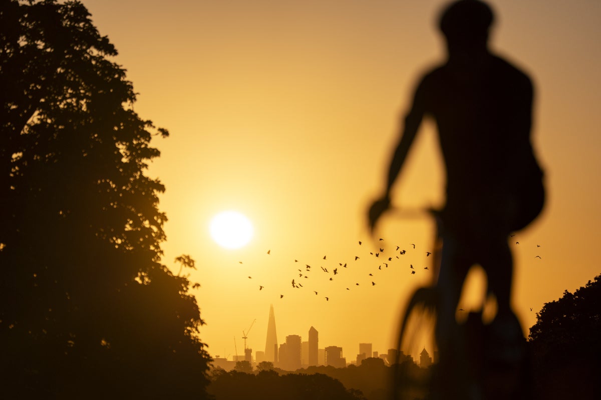
Highs of 28C are expected on Monday, climbing to 29C in parts of the South on Tuesday, before soaring into the mid-30s across the country on Wednesday, Thursday, and Friday, then dropping back to the mid-20s at the weekend. Met Office meteorologist Tom Morgan said: "We'll probably see highs reaching the mid-30s quite widely on Wednesday, and indeed on Thursday too for England and Wales. On Wednesday, probably the Midlands, maybe a little bit further south, the M4 corridor, west of London, up towards the Midlands, is where we might have a small chance of reaching 36C in one or two spots.
But Thursday at this stage looks the most likely hottest day of the week. So 36C is a fairly reasonable probability locally on Thursday and there's a small chance it could get even higher than that. Half of England and all of Wales have been plunged into drought, with more regions potentially declared when officials meet at the National Drought Group on Monday.
Mr Morgan said: "If it wasn't for this incredible summer that we're currently seeing, then we'd be talking about these temperatures as being really, very unusual. But of course, we've had such an exceptional summer, people have become a bit used to it. There is a potential for impacts, so impacts to infrastructure, things like railway lines and power networks, impacts to vulnerable people as well.
Health officials have warned of effects on vulnerable people in the upcoming hot weather, with significant impacts possible in health and social care settings and a potential rise in deaths because of the heat. Yellow heat health alerts issued by the UK Health Security Agency are in place for the East Midlands, West Midlands, South East, South West, East of England, Yorkshire and the Humber, and London until 9pm on Tuesday but may be extended. The Met Office is considering issuing rare extreme heat warnings ahead of the scorching temperatures forecast later in the week.
"We sometimes issue extreme heat warnings, amber and red warnings, which we did back in June, so that's under consideration at the moment, Mr Morgan said. More than 25 million people have restrictions on water use with millions under hosepipe bans including all South East Water and Thames Water customers. Mr Morgan said people may see some rain towards the end of August but signs are "tentative".
"Unfortunately in the south of the UK it's looking really dry for the next week or so, he said. Where we desperately need it (rain) in particularly drought-affected areas, the week ahead is expected to be dry. There's tentative signs from around August 18 or 19 but a long way in future that we might see a little bit more rain getting further south across UK but nothing definitive at this stage.
Nottinghamshire Fire and Rescue Service declared a major incident on Sunday as two large fires in woodland put strain on resources. Another record is set to tumble this week after Sunday was the 34th day so far this year when temperatures exceeded 30C somewhere in UK equalling record from 1995. The extreme weather has included two record-breaking heatwaves in May and June leading to more than 2,800 excess deaths; two more heatwaves in July - driest July in England and Wales since records began in 1836 - fuelled drought and wildfires. The EU's earth observation programme Copernicus said average temperatures across western Europe reached 21.61C (70.92F) for June-July breaking record set in 2022. Globally this year is just behind 2024 and 2025 as third hottest year on record.
Source: Independent UK News
Most read in this category
Loading article…